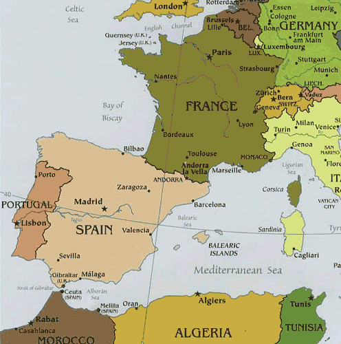
Political maps are designed to show governmental boundaries of countries, states, and counties, the location of major cities, and they usually include significant bodies of water. Like the sample above, bright colors are often used to help the user find the borders
No comments:
Post a Comment